


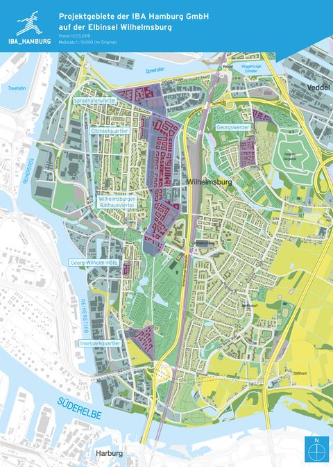
Spreehafenviertel (Spreehafendistrict)
The Ministry for Urban Development and Housing has commissioned the IBA Hamburg with the project development for the Spreehafenviertel area.
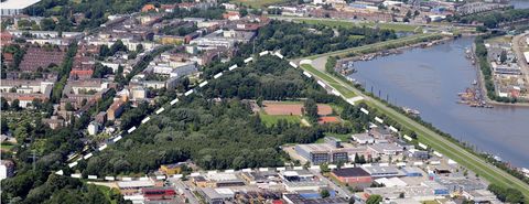
The abolition of the Free Port Area in 2013 opened up the possibility of creating a new corner of the city in Wilhelmsburg: the Spreehafenviertel.
The urban development of the triangular area between Harburger Chaussee to the north, Ernst-August-Kanal to the south and Schlenzigstraße to the east represents a sensible rounding off of the Reiherstieg district. Together with the ongoing residential development to the eastern side of Harburger Chaussee, the new district can also become a useful and space-defining link to Veddel.
On 30 September 2014 the Federal State Government set out a target for a mixed-use and residential development of up to 400 housing units, along with the reorganization and expansion of sports facilities and an extension of the existing Stenzelring industrial area.
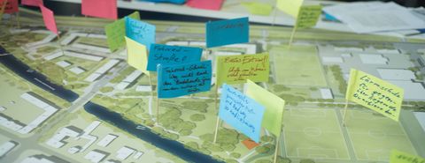
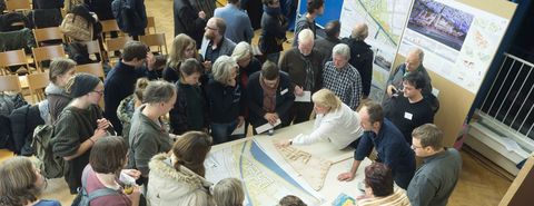
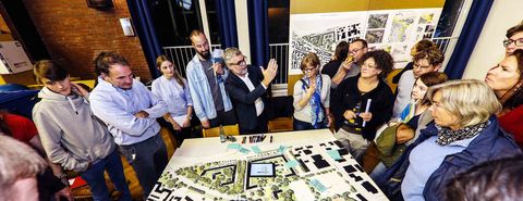
For the IBA this first phase involved evaluating the existing studies and obtaining input from experts in order to work out the restrictions and potential of the area, in particular in relation to traffic and pollution problems.